


Application of Total Stations in Geological Hazard Monitoring
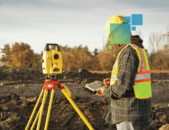
A total station is a surveying instrument that integrates multiple functions such as an electronic theodolite, electronic level, and distance meter, enabling high-precision measurements of angles, distances, and coordinates. During earthquakes and geological disasters, total stations can accurately assess terrain changes in affected areas, monitor the occurrence and development trends of geological hazards, provide scientific data support, and offer precise guidance for post-disaster reconstruction and rescue operations.
Total stations play a vital role in disaster zones. They enable rapid measurement of post-disaster terrain changes, including ground displacement, building subsidence, and the extent of landslides and collapses, facilitating disaster assessment and guiding emergency rescue efforts. By comparing monitoring data, they track the dynamics of geological hazards following earthquakes, providing early warnings to prevent secondary disasters. Furthermore, they supply precise topographic data for post-disaster reconstruction planning, allowing new construction projects to avoid high-risk areas and minimize potential losses.
On April 14, 2010, a powerful earthquake struck Yushu Tibetan Autonomous Prefecture in Qinghai Province. Buildings collapsed in the epicenter area, infrastructure suffered severe damage, and numerous villages and towns were destroyed. Following the quake, rescue operations faced extremely complex terrain conditions, with mountainous areas, gorges, and landslides significantly hampering rescue efficiency.
During this disaster, surveyors participating in rescue operations swiftly measured terrain changes in the post-earthquake area using total stations. Through the high-precision data collection of total stations, rescue personnel gained accurate insights into geological changes such as subsidence, landslides, and fissures in the affected regions, providing scientific basis for subsequent emergency evacuation and rescue decisions. Particularly in mountainous areas where landslides and rockfalls frequently occurred, the real-time monitoring data from total stations helped rescue teams assess geological hazard risks, determine evacuation routes, and prioritize rescue efforts.

Total stations also assisted reconstruction teams in planning the geographical layout for post-disaster rebuilding. After assessing geological hazard risks following the earthquake, reconstruction efforts were scientifically implemented in the shortest possible time, ensuring the smooth progress of recovery operations.
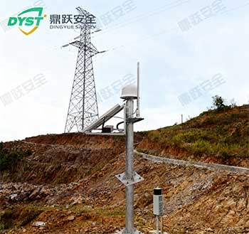
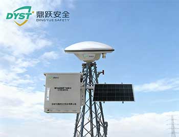
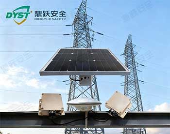
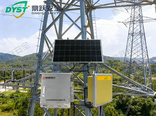
Total Station DY-DZE-QZYIn earthquake and geological disaster scenarios, it serves not only as a precise measurement tool but also as foundational equipment ensuring rescue efficiency, scientific decision-making, and post-disaster reconstruction. It provides critical support for terrain assessment, geological hazard monitoring, and evacuation planning in disaster zones, enabling rapid and efficient emergency response and reconstruction efforts.