


Typhoon Bebinca may make landfall in Zhejiang at peak intensity, bringing significant wind and rain
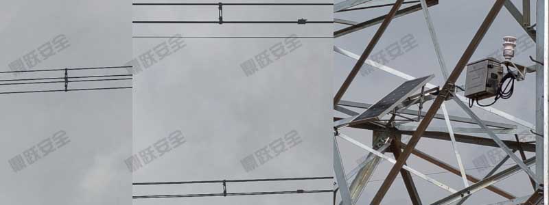
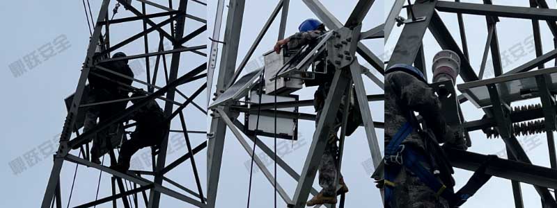
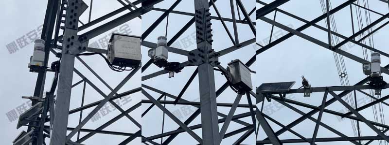
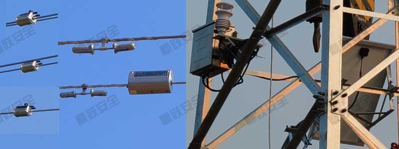
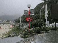
China Weather Network News—Typhoon Bebijia, the 13th typhoon of the year, is rapidly approaching the coast of Zhejiang Province. It is expected to make landfall along the coast from Taizhou, Zhejiang to Qidong, Jiangsu between the night of September 15 and the morning of September 16, with intensity reaching typhoon or severe typhoon level (Category 12–14). Affected by the typhoon, parts of northern Zhejiang will experience torrential rains. Coastal waters and Hangzhou Bay may see winds reaching force 11 or above, with localized gusts of force 14–15.

As the typhoon approaches, Zhejiang's prolonged heatwave is gradually easing. Yesterday, the provincial capital Hangzhou recorded its 61st consecutive day of high temperatures, setting a new local record for annual heatwave days. From today through tomorrow, coastal areas will see cloudy to overcast skies with localized torrential downpours, while inland regions will experience scattered showers or thunderstorms. Daytime temperatures today will range from 31°C to 33°C in northern Zhejiang and coastal areas, and from 34°C to 36°C elsewhere.
Starting tomorrow night, Zhejiang will experience significant wind and rain. Northern Zhejiang will see heavy to torrential rain, with localized torrential rain in some areas, while central Zhejiang will experience localized heavy rain. Winds over the East China Sea and coastal areas will also intensify significantly. Vessels operating at sea should return to port promptly to seek shelter from the storm.

The meteorological department advises the public to closely monitor typhoon warnings, especially during the Mid-Autumn Festival holiday. Avoid going out during periods of strong winds and heavy rain, and take necessary precautions against the typhoon.