


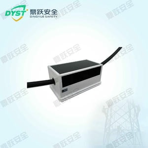


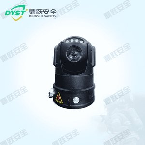


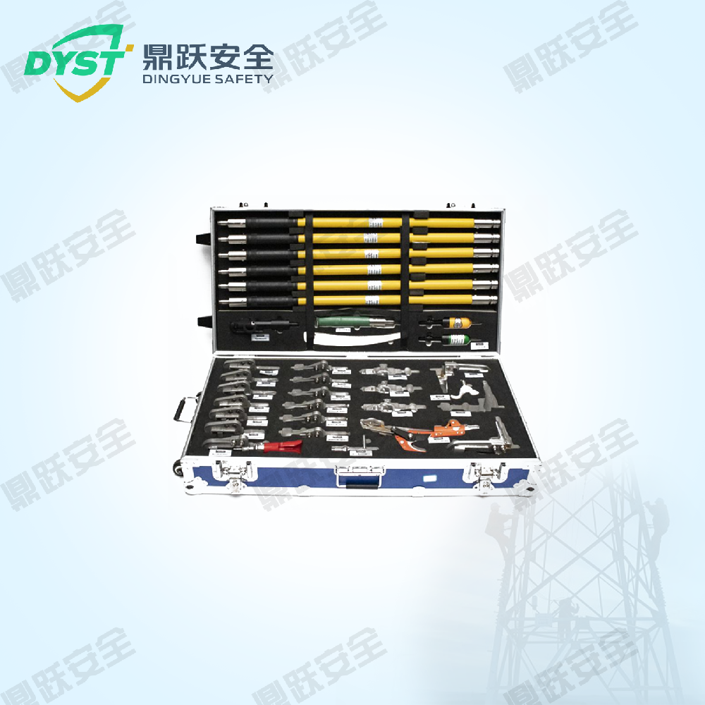


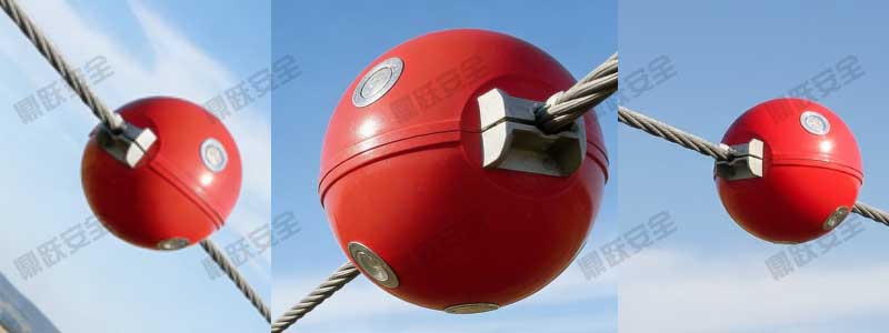


Rapid Surveying, Accurate Data, Laser Rangefinder_Dingyue Safety
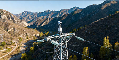
Following earthquakes and geological disasters (such as landslides, rockfalls, and ground fissures), rapid and accurate on-site surveying and data collection are critical to rescue operations. Laser rangefinders, with their high precision, long-range capabilities, and user-friendly operation, have become essential equipment for earthquake and geological disaster investigations. They not only help rescue personnel quickly assess geological changes but also assist in post-disaster assessments and recovery efforts, thereby enhancing overall rescue efficiency.
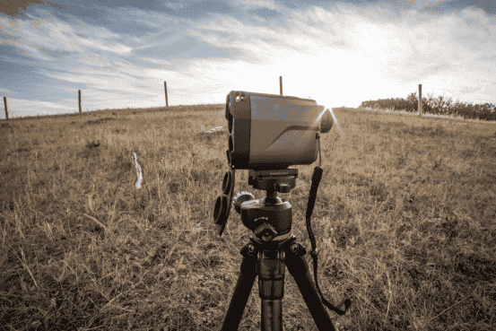
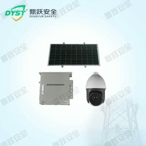
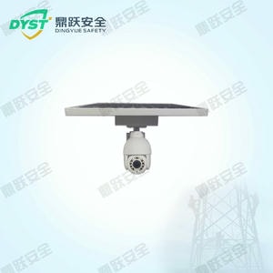
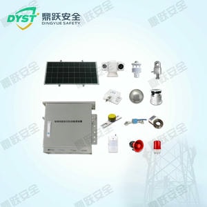
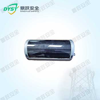
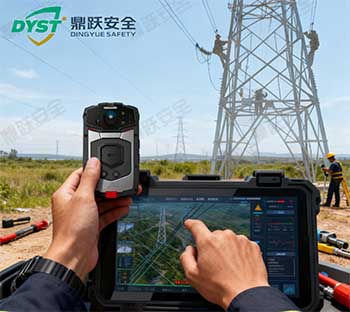
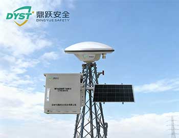
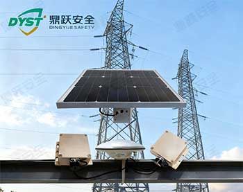
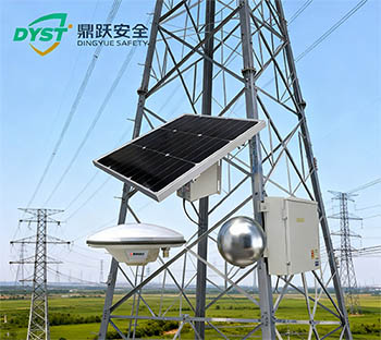
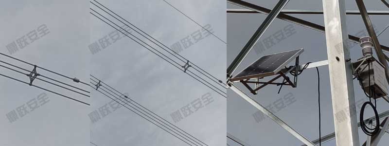
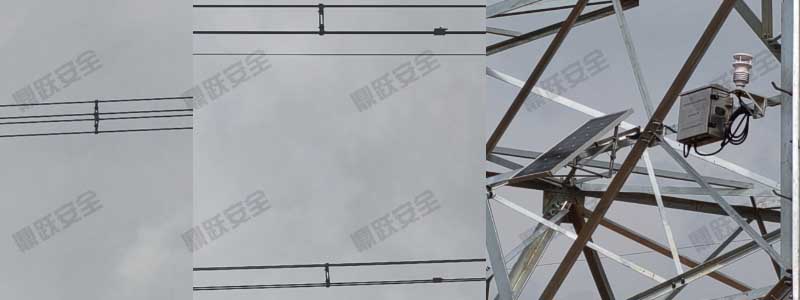
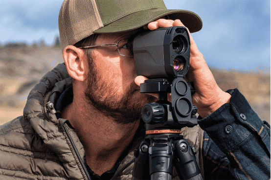
The laser rangefinder achieves millimeter-level measurement accuracy, enabling precise detection of ground and building displacement. It provides data for assessing the impact of geological hazards and supports long-range measurements, making it suitable for complex disaster environments while reducing exposure risks for rescue personnel. Compact, portable, and easy to operate, it empowers rescue teams to complete missions efficiently.
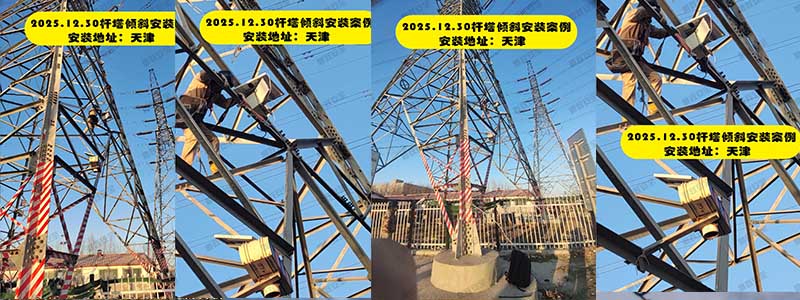
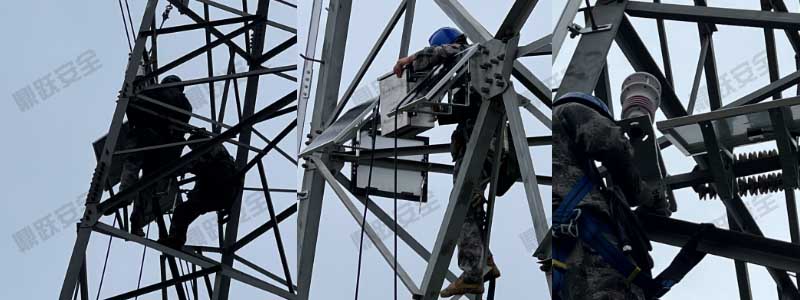
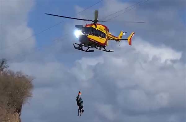
Following an earthquake, rescue teams employed laser rangefinders to measure displacement in damaged structures. The devices precisely detected critical data such as building displacement and tilt angles, enabling experts to swiftly assess the risk of further collapse. This facilitated the coordination of rescue operations and ensured the safety of rescue personnel. This application demonstrates the vital role laser rangefinders play in post-earthquake field surveys.
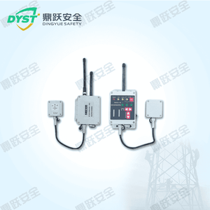
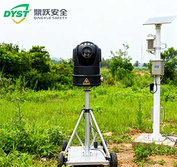
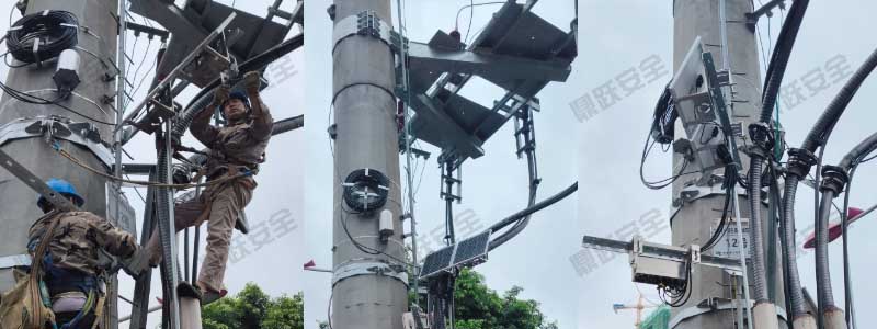
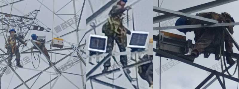
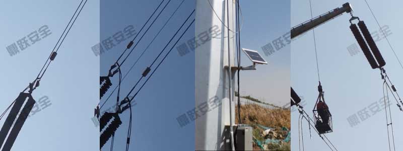
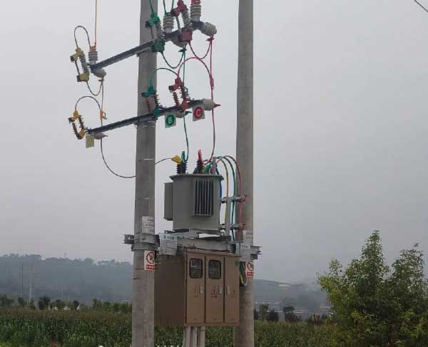
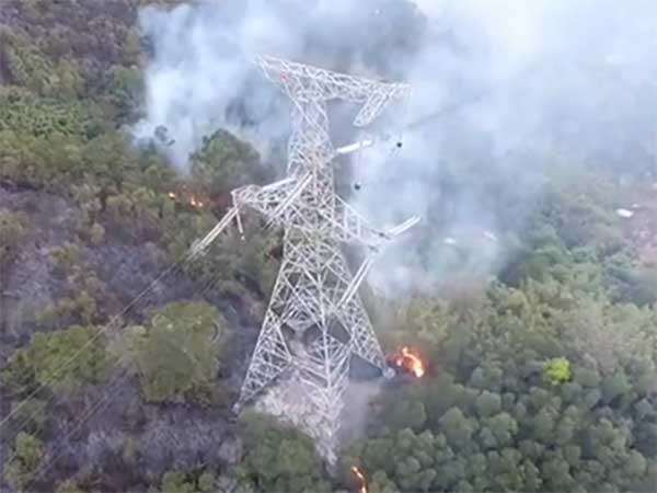
Laser rangefinders are widely used in target reconnaissance, construction surveying, geological exploration, and other applications. They can quickly obtain target distance and velocity information, aiding command decisions and enhancing construction precision and efficiency.
The DY-DZE-CJY Laser Rangefinderplays an irreplaceable role in earthquake and geological disaster relief operations due to its high precision, long-range capabilities, and portability. It not only enables rescue personnel to conduct field surveys safely and efficiently but also provides accurate data support for geological disaster early warning, monitoring, and post-disaster recovery efforts.