
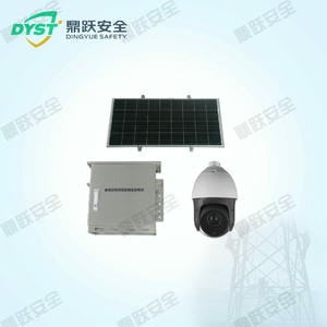
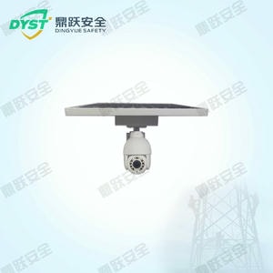
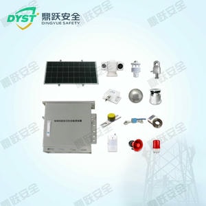


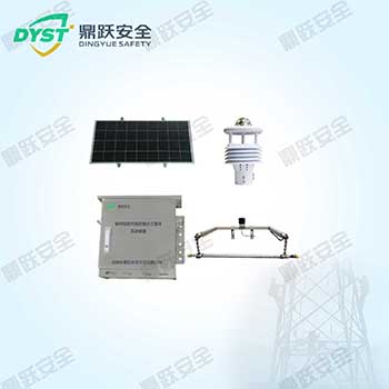

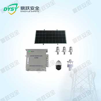

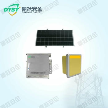
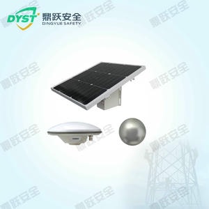


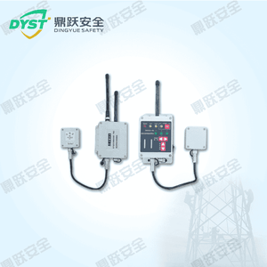
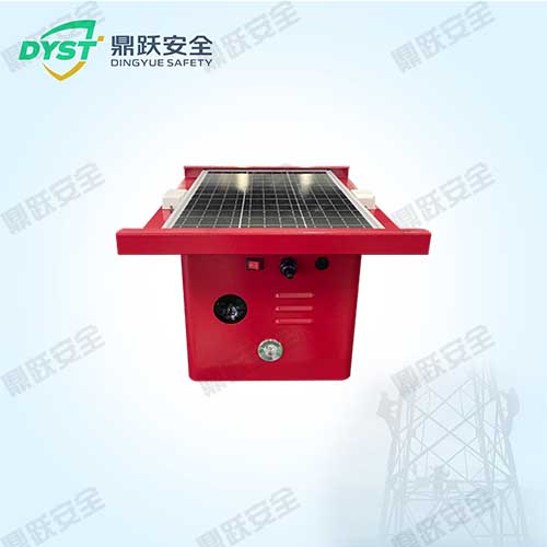
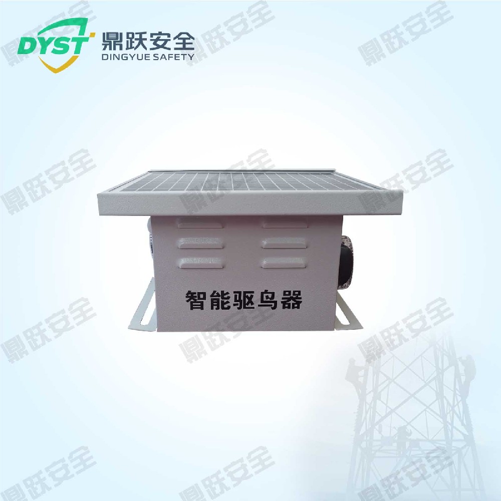
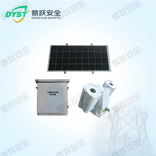
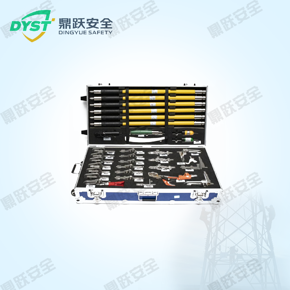


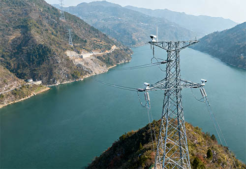

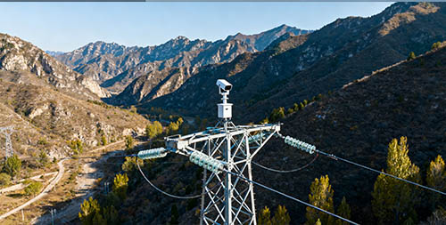


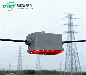
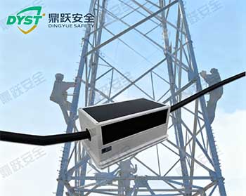

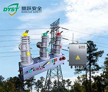

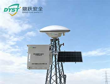
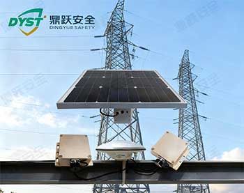
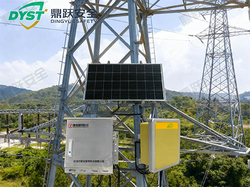
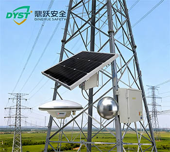


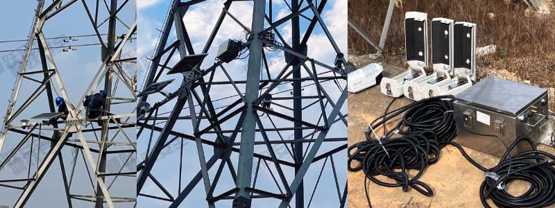
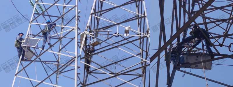
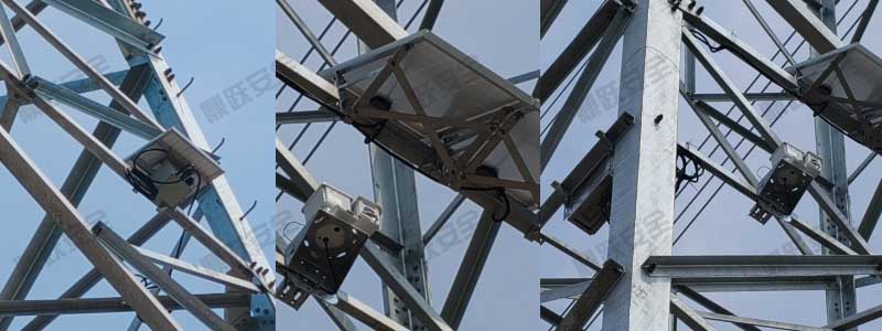
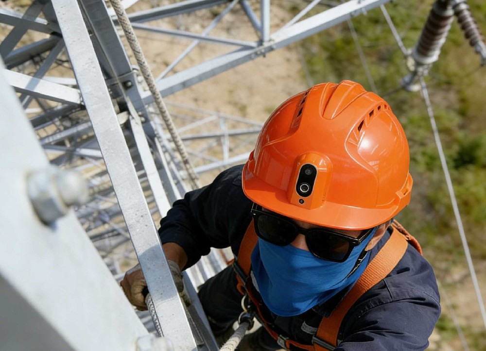
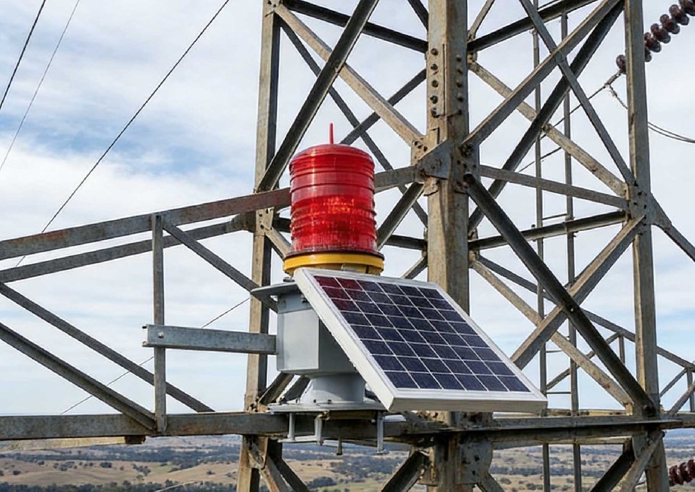
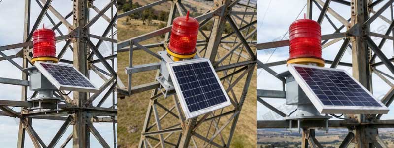
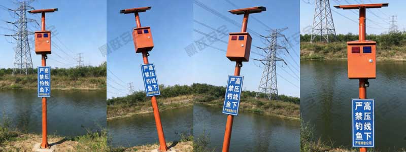
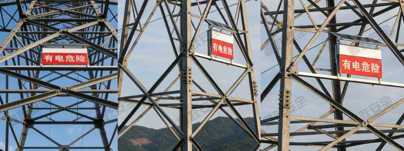
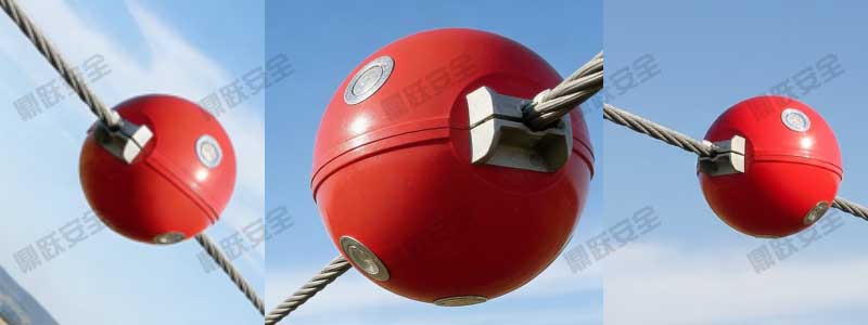
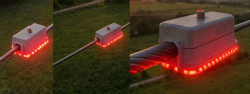
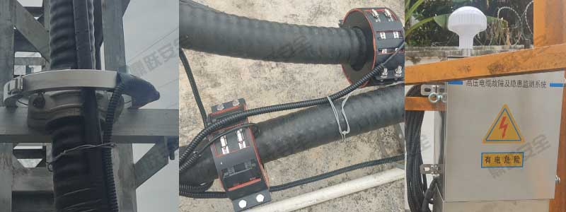
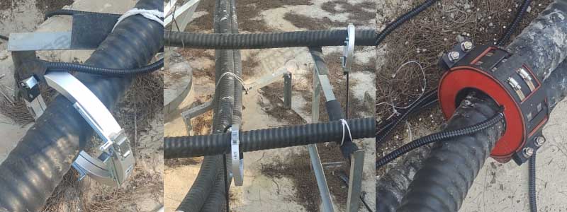
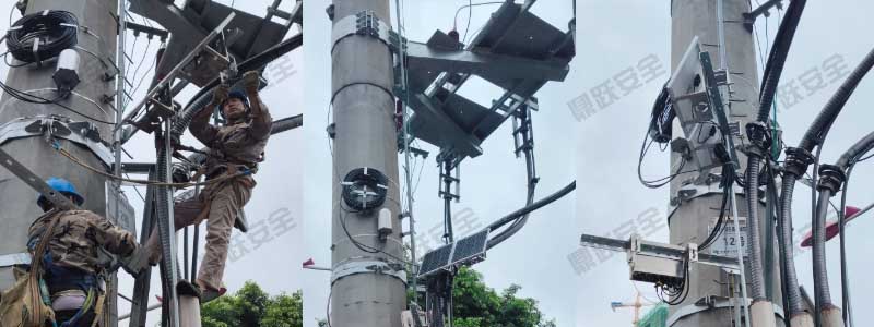
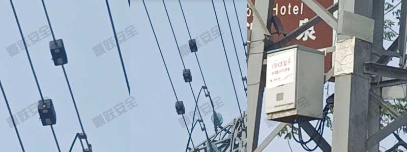
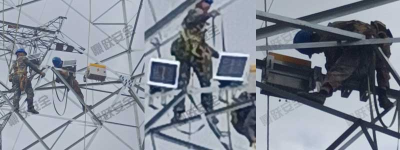
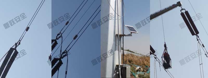
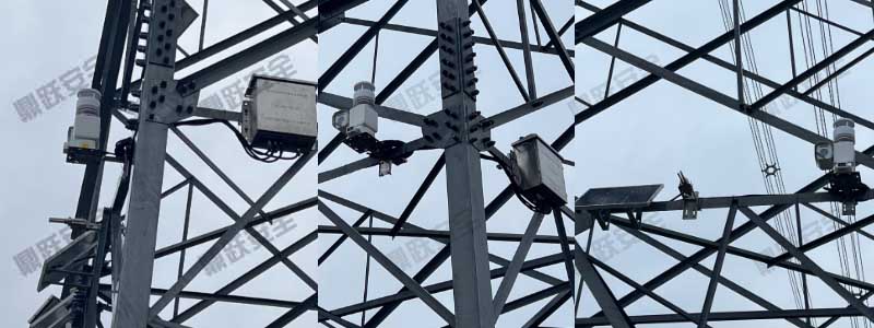
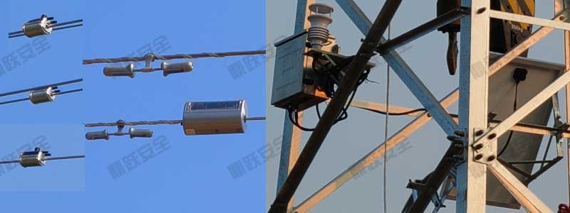


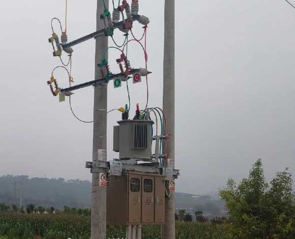
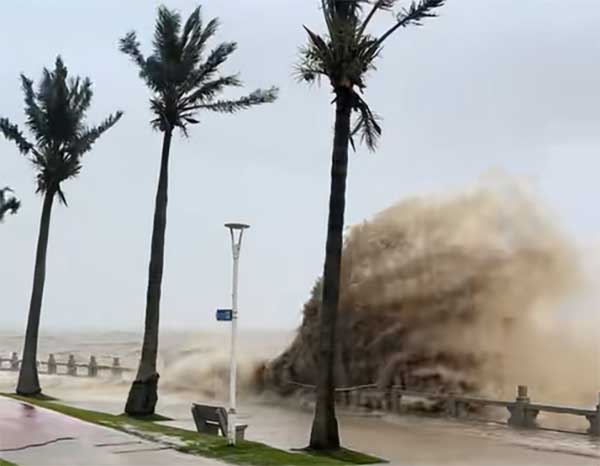

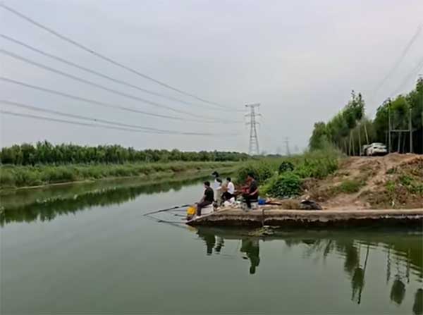


Water Resources and Water Area Monitoring Plan
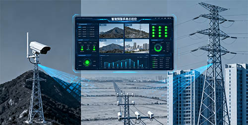
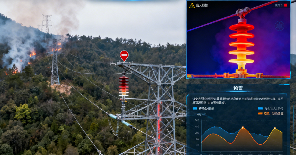
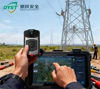
Through real-time collection of data from various sensors, a distributed network of multiple devices transmits data, which is aggregated at the management center via remote communication. After processing and correction at the system's management center, and through interaction with external system data, the actual conditions at monitoring points are displayed in real time on the GPS geographic information platform. This enables data mining and analysis within vast amounts of hydrological monitoring data, achieving real-time surveillance and timely control of hydrological monitoring information, ultimately presenting it in a unified display.

