


The Role and Implementation Plan of Intelligent Instruments in Earthquakes and Geological Disasters
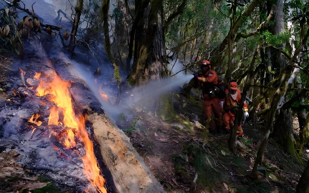
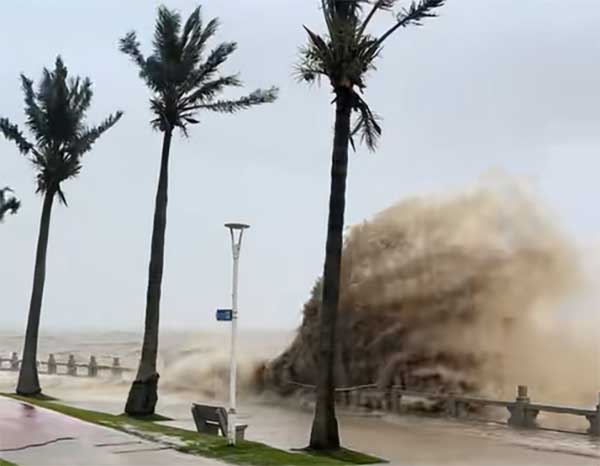
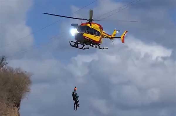
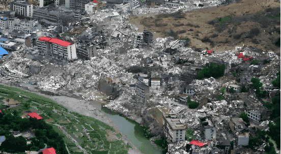
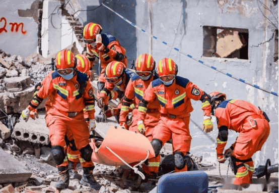
Earthquakes and geological hazards (such as landslides and debris flows) often strike suddenly, causing immense loss of life and property. In responding to these disasters, various intelligent instruments provide invaluable real-time monitoring, precise detection, and rescue support, significantly enhancing rescue efficiency and minimizing damage.
I. The Role of Smart Instruments
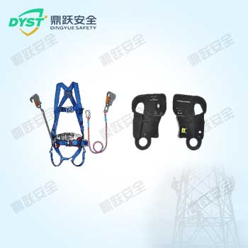
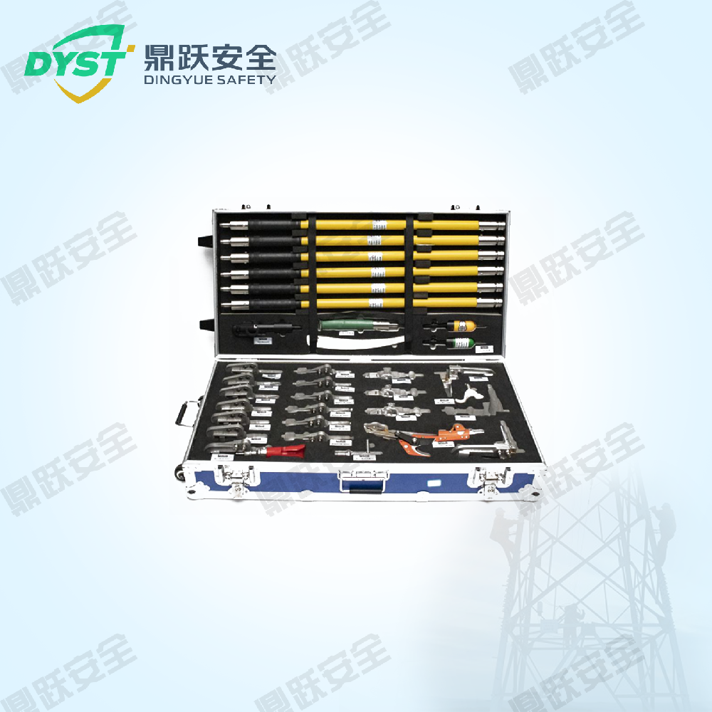
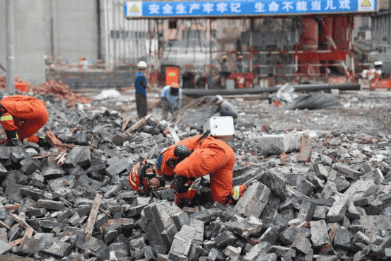
1. Life Detector
Overview: Utilizing infrared, radar, and audio-visual detection technologies, this device rapidly locates trapped individuals, particularly excelling in detecting vital signs beneath rubble and collapsed structures. Widely deployed in post-disaster rescue operations, it enables swift screening for signs of life during initial response phases, thereby accelerating rescue efforts.
2. Mobile Seismograph
Description: Records minute crustal changes during earthquakes and can be deployed anytime, anywhere to monitor aftershock activity and post-seismic crustal movements. Immediately deployed after an earthquake strikes, it provides real-time monitoring of aftershocks in the affected area, predicts secondary disasters, and delivers data support for subsequent rescue operations.
3. Handheld Metal Detector
Introduction: This device detects metal objects buried in rubble, such as rebar and structural frames, providing rescue personnel with structural information to help avoid hazardous areas. It is suitable for the debris clearance phase following earthquakes, preventing encounters with concealed dangerous objects during rescue operations.
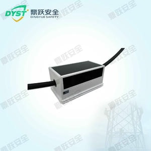
4. Portable Amphibious Leakage Detector
Introduction: It detects electrical leakage in disaster-stricken areas, safeguarding rescue personnel and preventing electrocution risks in aquatic rescue environments. Specifically designed for electrical inspections in flood- or earthquake-affected waterlogged zones, it ensures safety throughout rescue operations.
5. Laser Rangefinder
Introduction: This device rapidly measures the distance and elevation of targets within earthquake-stricken areas, providing precise site data to assist rescue personnel in swiftly planning rescue routes. It is suitable for surveying complex terrain in disaster zones, enabling surveyors to quickly map areas and plan rescue routes.
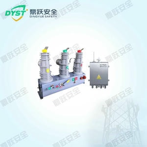
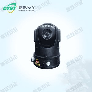
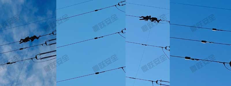
6. Total Station
Introduction: This equipment can precisely measure changes in ground morphology, making it particularly suitable for monitoring surface displacement caused by landslides or earthquakes. It can be used in post-disaster geological monitoring to observe surface displacement, prevent secondary disasters, and provide data support for reconstruction planning.
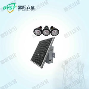
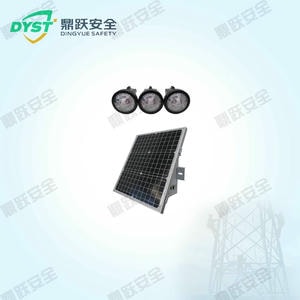
7. Multi-Functional Gas Detection Alarm System
Introduction: This system provides real-time monitoring of toxic or flammable gases in disaster-stricken areas, issuing alerts to safeguard the lives of rescue personnel. It can be deployed for post-disaster chemical leaks, fire hazards, and air quality monitoring, delivering real-time safety assurance for rescue operations.
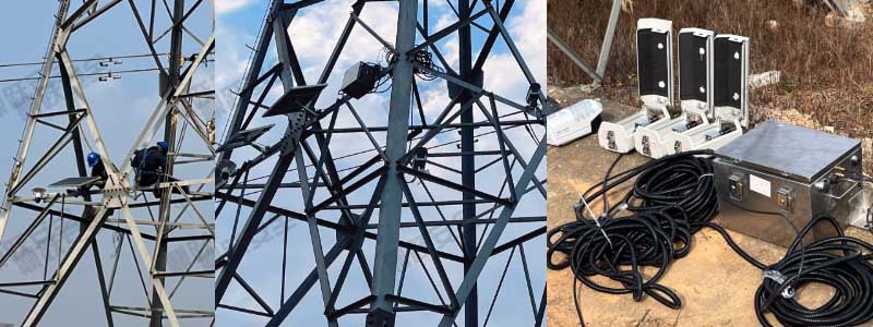
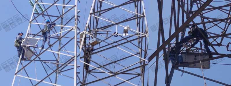
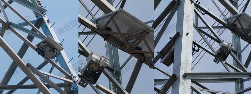
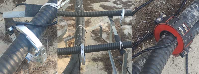
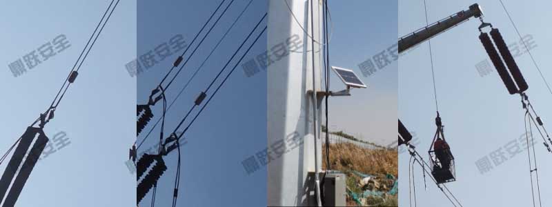
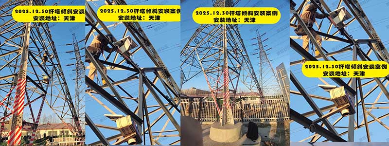
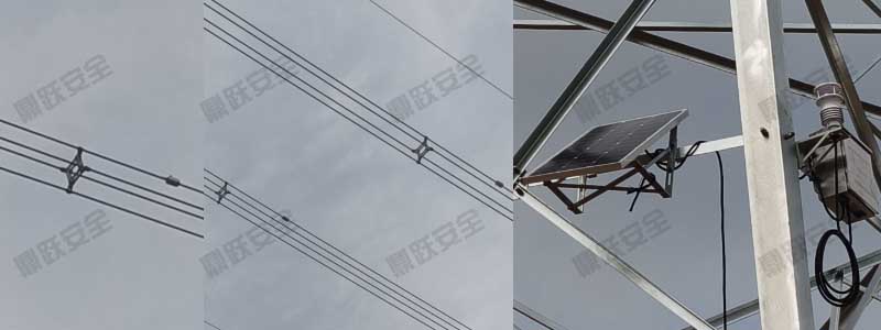
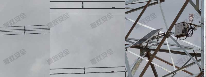
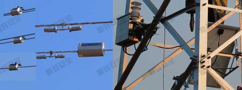
8. Displacement Monitor
Introduction: Displacement monitors track geological body movements, delivering precise surface deformation data to prevent secondary landslides or foundation subsidence. Ideal for post-earthquake landslide zones and mountain deformation monitoring, they provide critical data for disaster reconstruction and risk mitigation.
9. Portable Integrated Wideband Seismometer
Introduction: Portable seismometers can record seismic waves ranging from low to high frequencies, enabling precise analysis of characteristic seismic waveforms and providing reliable data support for disaster assessment. They can be rapidly deployed post-earthquake for seismic parameter analysis and secondary disaster prediction, thereby informing scientific rescue decision-making.
10. Explosion-proof Ground Penetrating Radar
Introduction: Explosion-proof ground-penetrating radar can penetrate the earth's surface to detect underground structures, identifying cavities, buried objects, and geological fault zones. It provides precise geological data for rescue operations. Suitable for geological surveys and search-and-rescue scenarios in complex terrain, it ensures rescuer safety—especially in areas with potential explosion hazards.
II. Implementation Plan for Intelligent Instruments
To effectively utilize smart instruments, a systematic implementation plan should be developed, covering deployment, operation, and maintenance to ensure the instruments' efficient application.
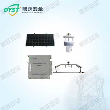
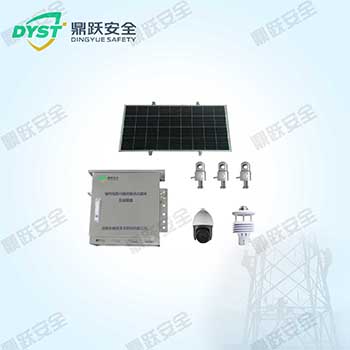
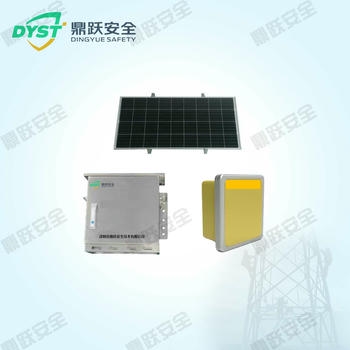
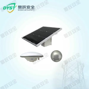
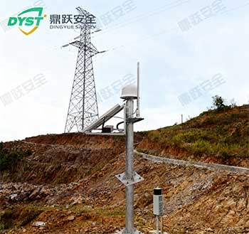
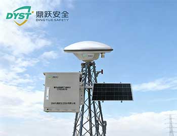
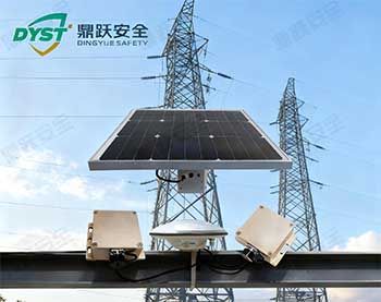
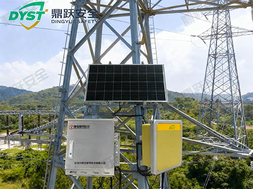
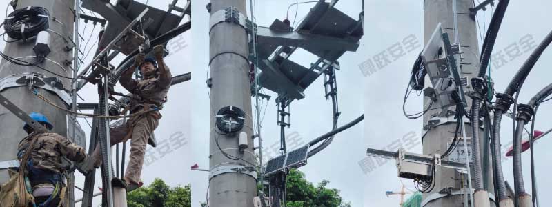
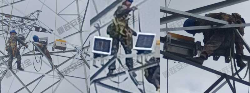
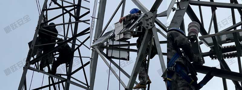
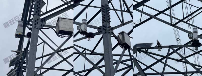
1. Smart Instrument Network Layout
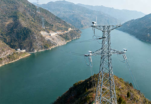
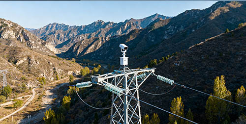
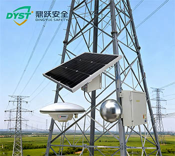
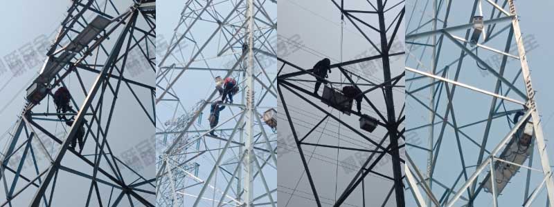
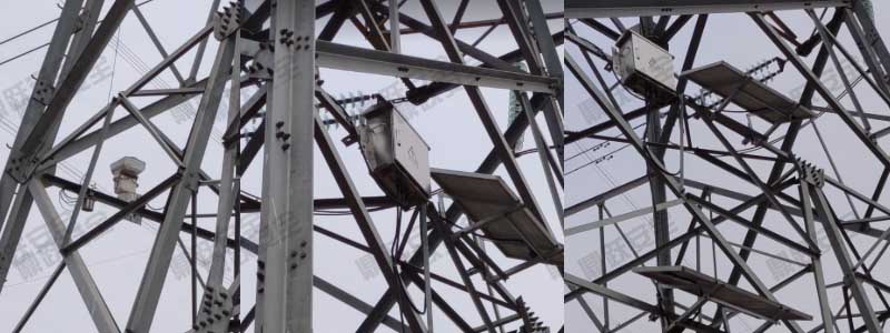
Regional Deployment:Permanently install smart instruments in earthquake-prone zones and high-risk landslide areas, while providing storage locations for mobile equipment.
Mobile Deployment: Immediately deploy mobile seismometers, portable seismographs, life detectors, and other equipment to disaster areas following an event to conduct real-time monitoring.
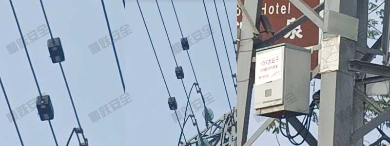
2. Real-time Monitoring and Data Management
Data Acquisition System: Through IoT technology, various smart instruments are connected to a unified disaster data management platform, enabling real-time data collection and transmission.
Data Analysis and Early Warning: Employing big data analytics to process information, analyze crustal change trends in seismic zones, provide disaster warnings, and formulate prevention and control measures.
3. Emergency Rescue System Integration
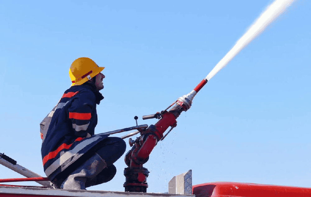
Rescue Support:During the initial rescue phase, fully utilize life detection devices, laser rangefinders, handheld metal detectors, and other equipment to rapidly locate trapped individuals and plan rescue routes.
Safety Assurance:Utilizing multi-functional gas detection systems and portable electrical leakage detectors, we continuously monitor hazardous gases and electrical leakage risks within rescue environments to ensure the safety of rescue personnel.
4. Disaster Recovery and Secondary Disaster Monitoring
Geological Monitoring:During the post-disaster recovery phase, instruments such as displacement monitors, total stations, and explosion-proof ground-penetrating radars are employed to monitor secondary hazards like landslides and subsidence.
Community Early Warning Training: Training residents in disaster-affected areas on basic instrument operation and early warning signals to enhance disaster response capabilities.
III. Summary
The application of smart instruments in earthquakes and geological disasters has significantly enhanced the efficiency of disaster warning and rescue operations. Through scientific deployment and efficient data management, these devices provide reliable data support for disaster warning, rescue assistance, and post-disaster recovery, adding powerful technological capabilities to disaster prevention and mitigation efforts.